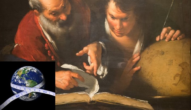
Cynthia McKanzie - AncientPages.com - Without access to modern technology, calculating the circumference of the Earth in ancient times was by no means an easy task.
Yet, two ancient scientists are today famous for their attempts and they almost got the numbers right, almost. It should be added that one miscalculation led to Columbus's discovery of America. So, how did ancient scholars measure the size of the Earth?
Eratosthenes Of Cyrene Calculated The Circumference Of The Earth Using A Gnomon And Counting How Long A Camel Walked In A Day
Born in Cyrene which is now in Libya in North Africa, Eratosthenes Of Cyrene (276 BC – c. 195/194 BC) was a Greek mathematician, geographer, astronomer and historian.
As man with great scientific curiosity, Eratosthenes Of Cyrene later became the chief librarian at the Library of Alexandria in Egypt. It is believed that he starved himself to death in 195 B.C.E. because he became blind and could no longer work.
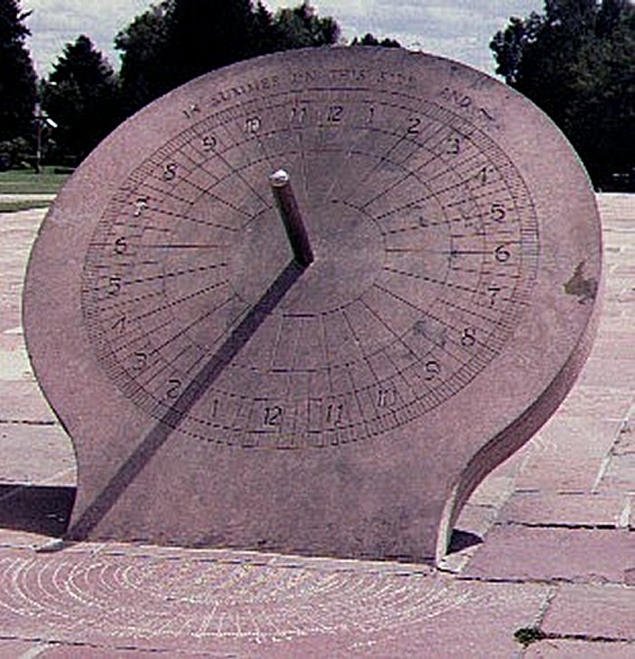
Eratosthenes Of Cyrene made the first measurement of the size of Earth using a gnomon, an ancient time measuring instrument that cast a shadow. It was probably the first device for indicating the time of day dating from about 3500 B.C. The length of the shadow this simple instrument cast, it gave an indication of the time of day.
A simple astronomic instrument, the 'gnomon' used to calculate the time, season, and so on) is composed of a vertical gnomon and a horizontal ruler. Image: Cultural Chin
To calculate the circumference of the Earth, Eratosthenes measured the angle of the shadow to the Earth. He had had previously determined that on June 21, the date of the summer solstice, the Sun cast no shadow at the bottom of a water well located in Cyrene (also spelled "Gyrene"). Therefore, he knew that on this date and at this point, the Sun was at its zenith.
Eratosthenes measured the angle of the shadow at the column and calculated the circumference of the Earth using the difference between the two locations. Image credit: GCSSE Astronomy
Cyrene placed a stick (gnomon) in the ground at a location in the city of Alexandria, which he knew was 5,000 stadia from Cyrene . And measured the angle of the shadow. Knowing how many stadia a camel could walk in a day, Eratosthenes estimated the distance between the two cities by multiplying the distance a camel walked in one day by the number of days it took a camel caravan to make the journey
He found the circumference of the Earth to be nearly 250,000 stadia (25,000 miles). His calculation was very close to today's accepted equatorial circumference of 24,902 miles.
See also:
Ancient Greeks Invented Alarm Clocks
First Odometer Was Invented By Vitruvius Around 15 B.C.
Posidonius Miscalculation Led To Columbus' Discovery Of America
Posidonius of Rhodes is also known as Posidonius of Apameia (c. 135 BCE – c. 51 BCE), was a Greek politician, astronomer, geographer, historian and teacher who was considered the most-learned man of his time.
Posidonius attempted to calculate the circumference of the Earth by assuming the cities of Rhodes (Greece) and Alexandria (Egypt) were on the same meridian. He also thought that the star Canopus touched the horizon at Rhodes at a meridian altitude of 7 30' or V48 of the circumference of a circle at Alexandria. The distance between these two cities was 5,000 stadia. By multiplying 48 by 5,000, he figured the Earth's circumference to be 240,000 stadia, which was close to Eratosthenes' figure and Posidonius almost got the numbers right, but he was too ambitious. For some reason, recalculated the distance between Rhodes and Alexandria and decreased the figure to 180,000 stadia.
Image credit: Ms. Apolonio, Slide Share
Claudius Ptolemy, a Greek writer, known as a mathematician, astronomer, geographer wrote about Earth’s circumference in his works, and he based his material on Posidonius’ research.
When Christopher Columbus used more than 1,000 years later was on his journey to Asia, the error not only made his voyage much longer, but it also but led him to his discovery of the Americas.
The Earth Is Not A Perfect Sphere
Today we know that our Earth is not a perfect sphere and it has a weird shape because the Earth’s gravity isn’t uniform. A while back, scientists presented the most accurate map ever produced of the Earth’s gravity. The map is called a geoid, the result of two years of orbital surveys by the European Space Agency (ESA) Gravity Field and Steady-State Ocean Circulation Explorer (GOCE) satellite that also studies ocean circulation and the movement of ice.
The map clearly shows that Earth’s equatorial circumference is greater than its polar circumference.
Modern scientists have learned much about the shape and size of our planet, but ancient attempts to gain similar information were quite successful too.
Written by Cynthia McKanzie - AncientPages.com Staff Writer
Copyright © AncientPages.com All rights reserved. This material may not be published, broadcast, rewritten or redistributed in whole or part without the express written permission of AncientPages.com
Expand for references


